Matopothèque
A map of the 233 FFRandonnée topoguides, showing the ones you own, the ones you are missing, and a shelf to keep them on.
- Year
- 2026
- Built with
- Nuxt 4, MapLibre, SwiftUI, Python
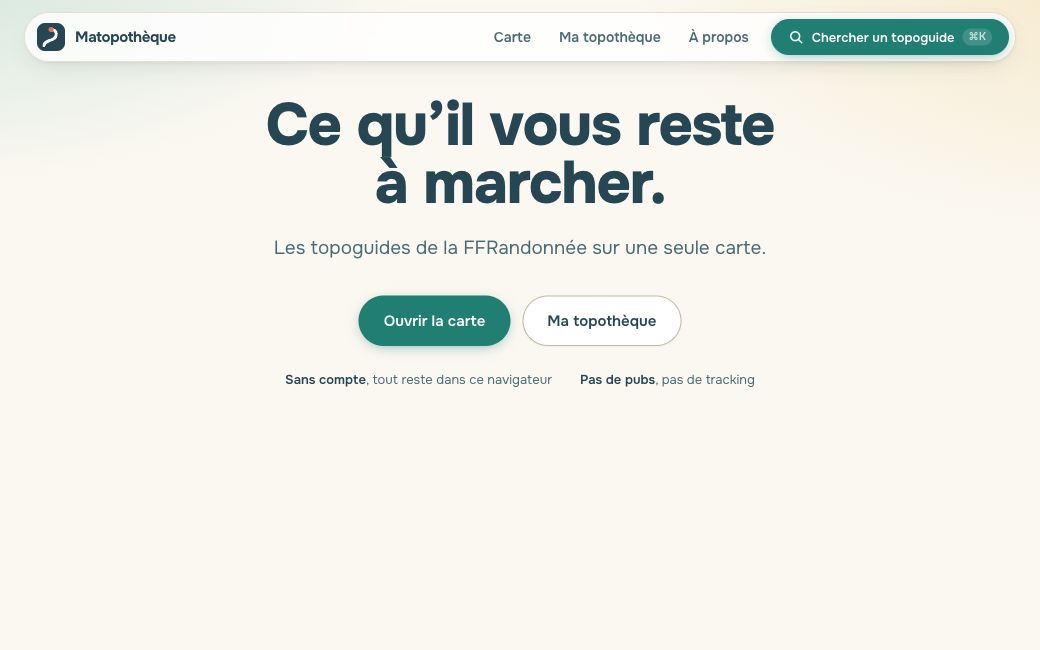
The French hiking federation publishes 233 topoguides. Matopothèque puts them all on one map, greyed out until you declare the ones you own: each guide then lights up the area it covers.
It comes in three parts:
- A Nuxt 4 web app with the MapLibre map and your shelf of guides.
- An iOS companion that keeps the shelf offline and scans barcodes natively.
- Python scripts that build the datasets. The main one finds the back cover of each guide by its barcode, reads it with on-device OCR (Apple’s Vision framework), geocodes the place names it finds, and fits the printed map onto geographic coordinates with RANSAC. All 233 titles take about ten minutes, at no cost.
There is no account and no revenue, and the site is not affiliated with the federation: it links to the official shop and redistributes no route content.